Get directions to a stop
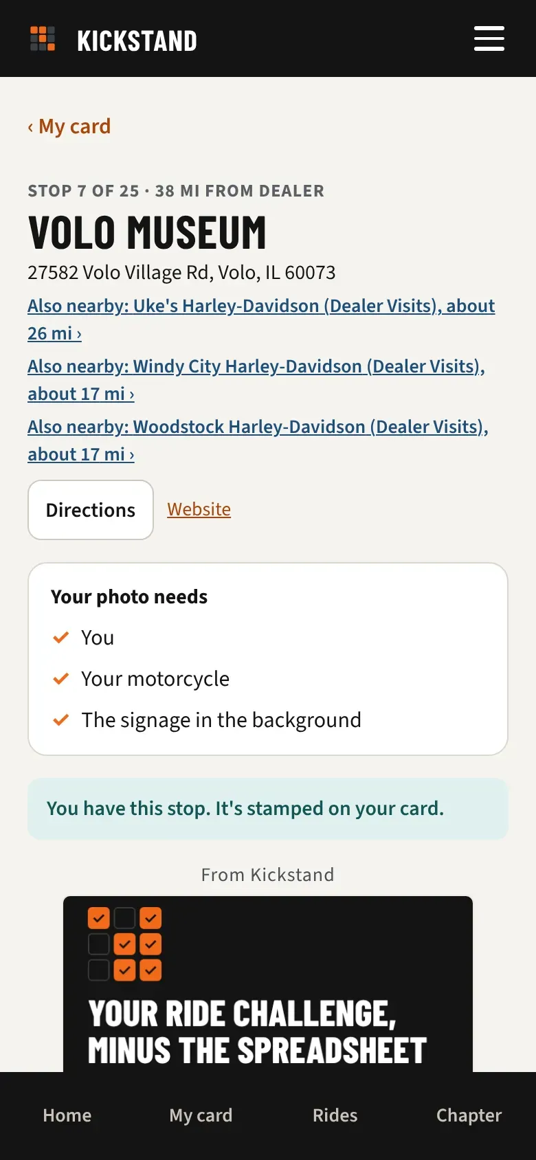
Every stop page has a Directions button that opens the stop in your map app. It takes you to the stop’s pin on the map.
- On My card, tap the stop.
- Under the stop’s name and address, tap Directions. It opens in a new tab.
- Start navigation in your map app.
Which map app opens
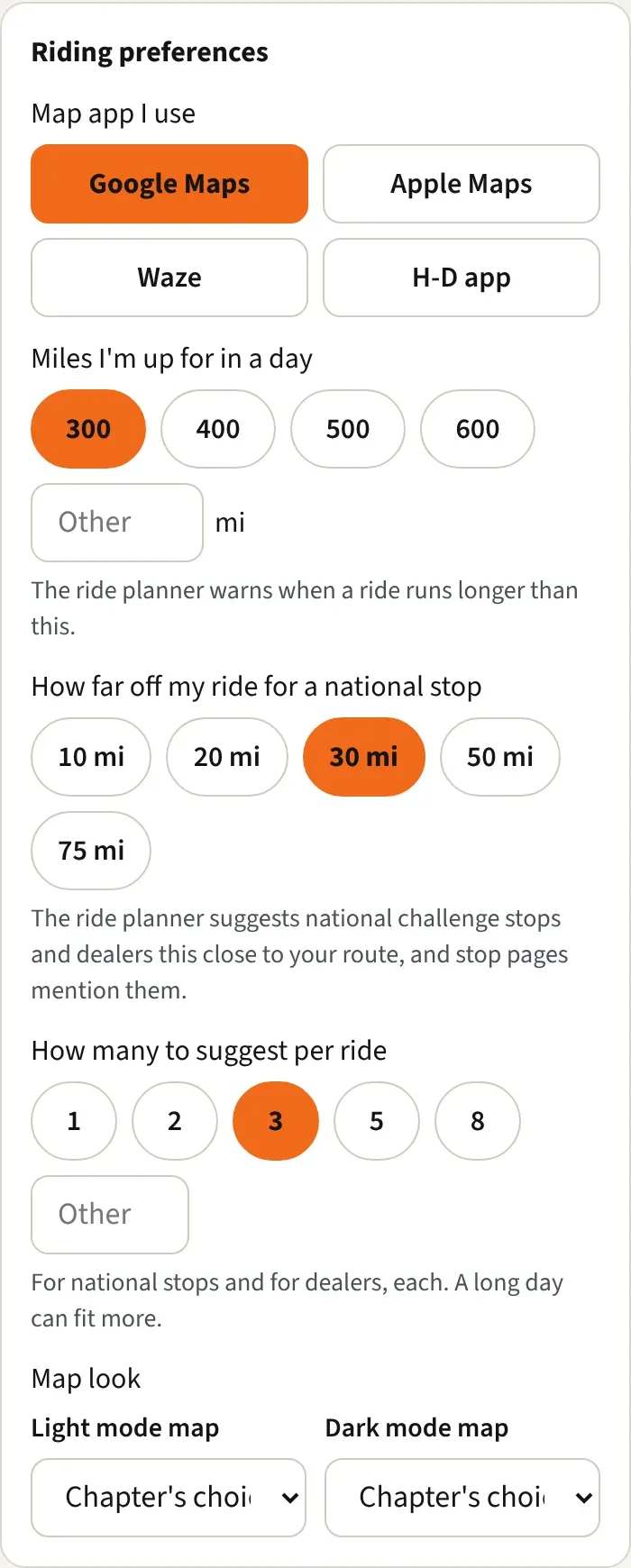
Section titled “Which map app opens”Directions uses the app you chose under Riding preferences in your profile.
- Tap Map app I use and pick Google Maps, Apple Maps, Waze, or H-D app.
- The choice saves as soon as you tap it.
- Google Maps opens turn-by-turn directions to the stop in Google Maps.
- Apple Maps opens directions in Apple Maps.
- Waze opens Waze with the stop as your destination and navigation started.
- H-D app opens Google Maps for a single stop. The H-D app loads whole rides from a GPX file instead. See Planning rides and loading the GPX.
- If you haven’t picked one, Directions opens Google Maps.
Website and Also nearby
Section titled “Website and Also nearby”- Website appears when your chapter added one for the stop. It opens the stop’s own site in a new tab.
- Also nearby appears under the address when a national challenge stop you still need is close to this stop, for example a dealer from Dealer Visits. It reads like “Also nearby: stop name (challenge name), about 12 mi.” Tap it to open that stop.
Good to know
Section titled “Good to know”- “Close” is the distance you set under How far off my ride for a national stop in Riding preferences. How many show at once follows How many to suggest per ride.
- Directions gives one stop at a time. To plan a whole day, use the Rides tab. See Planning rides and loading the GPX.
- Your chapter’s officers can switch national challenges off for the chapter. Then you won’t see Also nearby.